



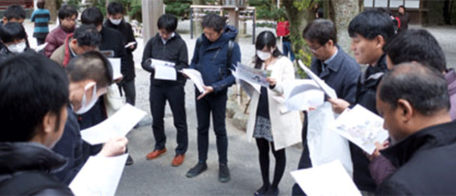

The geography experience program for junior and senior high school students, “Let’s Analyze Landforms and Disaster Information Using the Latest Digital Mapping Technologies!” (Project Leader: Prof. Takashi Oguchi), will be held again this summer.
In this program, participants will analyze topographic and disaster-related information using Geographic Information Systems (GIS) and location-based data. The program also includes hands-on activities, such as experiencing a VR application created from GIS data and observing 3D-printed terrain models.
・Date and Time: Sunday, July 26, 2026, 10:00 AM – 5:00 PM
・Venue: Kashiwa Campus, The University of Tokyo
・Language: Japanese
・For more information: https://t.co/rEhqMuWacT
・Register here: https://t.co/9XEskrwTsB
Follow our network: https://linktr.ee/CSISut
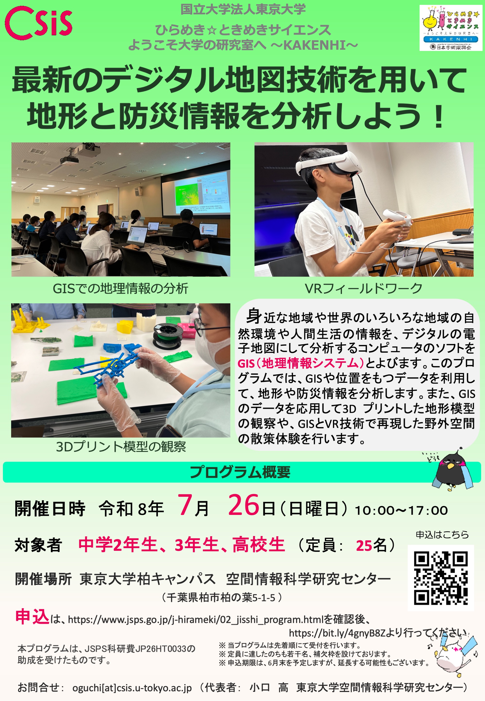
Poster for the Program
中学2-3年生と高校生向けの夏休み地理講座、ひらめき☆ときめきサイエンス「最新のデジタル地図技術を用いて地形と防災情報を分析しよう!」(実施代表者:小口高)の申し込み受付が始まっています。この講座では、地理情報システム(GIS)や位置情報をもつデータを利用して、地形や防災の情報を分析します。また、GISのデータを応用して3Dプリントした地形模型の観察や、GISとVR技術で再現した野外空間の散策体験を行います。
・開催日時:2026年7月26日(日)午前10時~午後5時
・開催場所:東京大学柏キャンパス
・申込はこちら:https://t.co/9XEskrwTsB
CSIS公式SNS: https://linktr.ee/CSISut
講座のポスター