







On August 3, the Spatial Information Science Forum was held at the University of Tokyo Hokkaido Forest.
The Spatial Information Science Forum is an annual event in which members of CSIS visit researchers and practitioners working in fields related to spatial information science. During these visits, participants learn about activities and initiatives at the host institution, introduce research conducted at CSIS, and exchange ideas and perspectives.
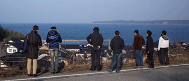
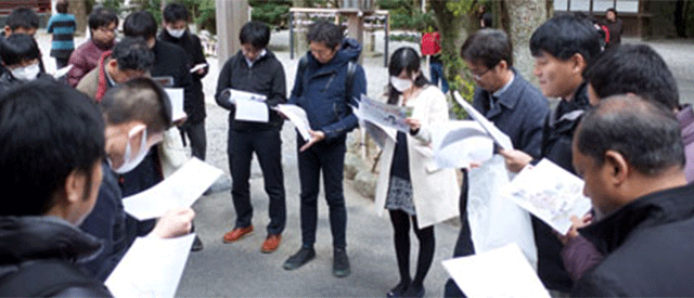
This year, we visited the University of Tokyo Hokkaido Forest. After visiting the Forest Museum, we toured the forest and were shown stands managed using the stand-based silvicultural management system, areas where management practices are used to support natural regeneration, a large-scale long-term ecological research plot established to monitor changes in natural forests over an extended period, trees damaged by wildlife, and natural springs. In the forest, we were also shown field records containing information on individual trees and maps showing the locations of forest stands, displayed on tablets used for forest management, and learned how digital tools are used in forest management practices.
During a discussion session held at the Yamabe Office, we exchanged views on ArcGIS and other tools used for forest management and research at the Hokkaido Forest, including challenges encountered in their practical use and potential improvements for more effective utilization.
The forum provided a valuable opportunity to deepen our understanding of forest research and management practices and to consider how spatial information science and digital technologies can be effectively applied in the field.
University of Tokyo Hokkaido Forest: https://www.uf.a.u-tokyo.ac.jp/hokuen/index_english.html
——————-
Follow our network: https://linktr.ee/CSISut
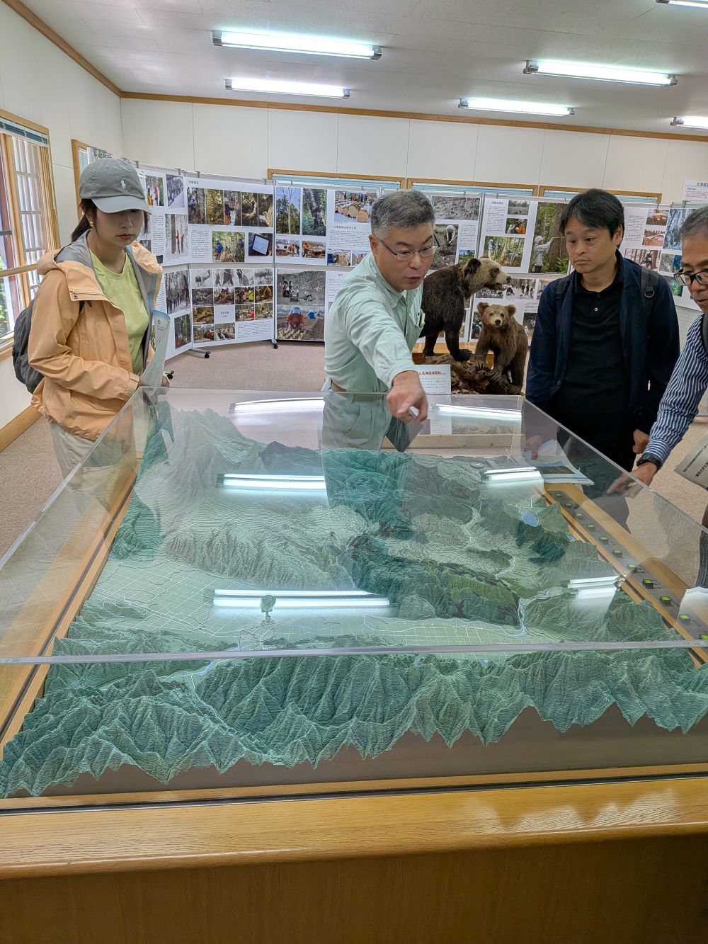
Visit to the Forest Museum
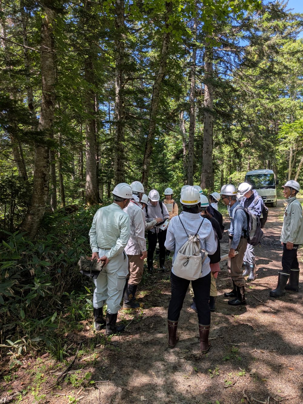
Field visit in the Hokkaido Forest
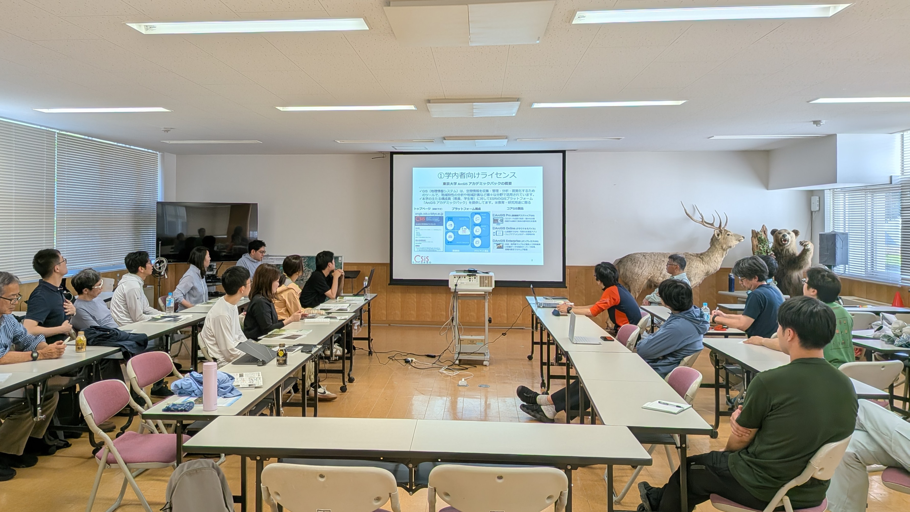
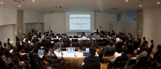
Discussion session
8月3日、東京大学北海道演習林にて、空間情報科学研究会を開催しました。
空間情報科学研究会は、当センターメンバーが空間情報科学に関係する研究者や実務者を毎年訪問し、現地での取り組みを伺うとともに、当センターの研究を紹介するなど、意見交換を行う研究会です。
今年は、東京大学北海道演習林を訪問しました。森林資料館を見学した後、演習林内に移動し、林分施業法と呼ばれる独自の手法で管理されている林分、更新補助作業が行われている区域、大面積長期生態系プロット(長期間にわたる天然林の変化を把握するために設置された大規模な調査区)、野生動物による被害を受けた樹木、湧水などをご案内いただきました。また、林内では、樹木情報を記録する野帳や林分位置図を、管理に使用しているタブレットで見せていただき、デジタルツールを活用した森林管理の実際についても説明を受けました。
山辺事務所で行った意見交換会では、北海道演習林での管理・研究に利用されているArcGIS等について、現場で利用する上での課題や、より効果的な活用に向けた改善点などについて意見を交わしました。
今回の研究会では、森林の調査・管理の実際について理解を深めるとともに、空間情報科学やデジタル技術を現場でどのように活用できるかを考える貴重な機会となりました。
東京大学北海道演習林: https://www.uf.a.u-tokyo.ac.jp/hokuen/index.html
——————-
CSIS公式SNS: https://linktr.ee/CSISut
森林資料館の見学
演習林内での見学
意見交換会の様子