





We are pleased to welcome Dr. Michele Santangelo from the National Research Council of Italy, Research Institute for Geo-Hydrological Protection (IRPI). He is staying at CSIS as a Project Professor from Jan. 28 to Mar. 27.
His research focuses on the techniques and procedures to produce all types of landslide inventory maps from images interpretation, photo-geological mapping, assessing the quality of landslide inventory maps, modelling susceptibility and hazard at different scales for different types of landslides, evaluating exposure of structures and infrastructures to geo-hydrological phenomena. He is involved as part of his institution as consultant for the National Department of Civil Protection, and is an expert of the board for the quality assessment of the National Landslide Inventory of Italy (IFFI).
🔗Research Institute for Geo-Hydrological Protection (IRPI)
Follow our network: https://linktr.ee/CSISut
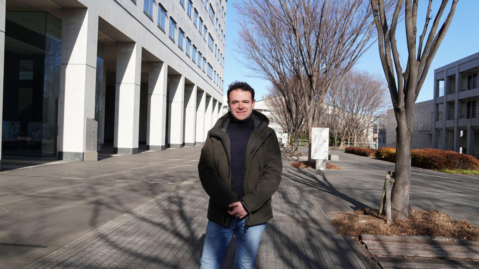
Dr. Michele Santangelo
イタリア国立研究評議会(National Research Council of Italy, CNR)地理水文保全研究所(IRPI: Research Institute for Geo-Hydrological Protection, IRPI)からミケーレ・サンタンジェロ先生がいらっしゃいました。特任教授として1月28日から3月27日まで滞在されます。
サンタンジェロ先生の研究は、画像判読や写真地質学的マッピングに基づいて、あらゆるタイプの地すべりインベントリマップを作成するための手法・手順に焦点を当てています。また、地すべりインベントリマップの品質評価、様々な種類の地すべりを対象とした異なる空間スケールでの感受性・ハザードのモデリング、さらに地形・水文現象に対する建築物および社会インフラの曝露評価にも取り組んでいます。さらに、IRPIの一員としてItalian National Department of Civil Protectionのコンサルタントを務めており、イタリア国家地すべりインベントリ(IFFI)の品質評価委員会の専門家でもあります。
🔗Research Institute for Geo-Hydrological Protection (IRPI)(英語)
🔗CSIS公式SNS: https://linktr.ee/CSISut
ミケーレ・サンタンジェロ先生