

Greeting message from the Director
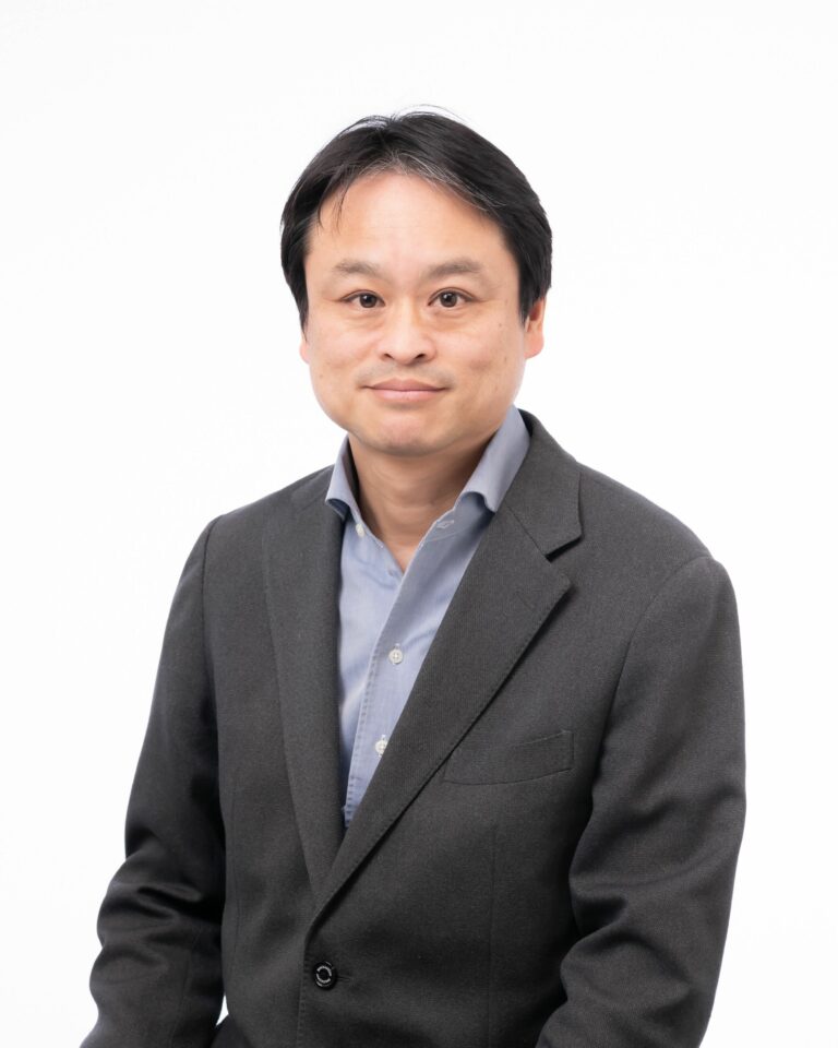
My name is Yoshihide Sekimoto, and in fiscal year 2024 I became the sixth director of the Center for Spatial Information Science at the University of Tokyo.The Center for Spatial Information Science was originally conceived as a national museum of cartography. It was established in 1998 as the so-called “new cartography” was evolving into new disciplines with higher and broader perspectives: first “geographic information science” and later “spatial information science,” which is the focus of the Center. After that, the goal was to become a research base for spatial information science, not only within the University of Tokyo, but also nationwide. In 2005, the Center was accredited by the Ministry of Education, Culture, Sports, Science and Technology (MEXT) as a national Joint Usage Facility, and today we continue to support researchers nationwide as a designated Joint Usage/Research Center.Nearly 25 years have now passed since the Center’s establishment, and in that time the scope of spatial information science has greatly expanded and become deeply rooted in daily life. Viewing digital maps on a smartphone has become commonplace, and in the wake of COVID-19, it has even become commonplace to talk about crowd congestion in a city using data on the movement patterns of people. In addition, artificial intelligence (AI) technology makes it possible not only to automatically detect damage to roads while driving, but also to create high-definition images that look like real landscapes using generative AI. Furthermore, autonomous driving technology that measures the surrounding spatial information will soon be deployed on actual roads.At the same time, however, we are faced with an increasing number of complex social issues such as the aging of society, a declining population, the frequent occurrence of large-scale disasters, and, at the global level, security issues such as social division and regional conflicts. We therefore need to actively consider how spatial information science can contribute to solving these problems from the perspective of autonomy and sustainability.
In this sense, now that the use of spatial information is commonplace for researchers in many fields, it can be said that the first stage of our mission has been accomplished. I believe we are now entering a new stage in which we must further expand our conceptual horizon and seriously discuss how to build and lead a sustainable digital spatial society. In fact, at the University of Tokyo, the Center played a central role in establishing the Digital Spatial Society Collaborative Research Organization in 2020, and as of April 2024, nearly 80 faculty members from 18 departments are engaged in collaborative activities and discussions.
While we have a strong desire to continue in this direction, the Center is still small in size, and cooperation from all our stakeholders in Japan and abroad will be essential to maintain and operate the Center, accelerate collaboration, and keep it constantly up-to-date. Thank you for your continued support.
Apr. 1st 2024
Center for Spatial Information Science, The University of Tokyo
Director
Yoshihide Sekimoto
センター長あいさつ
2024年度から東京大学空間情報科学研究センターの6代目センター長を拝命しました関本義秀です。
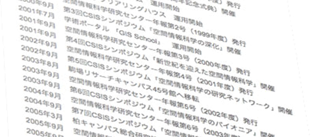
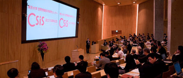
空間情報科学研究センターは、その前に議論があった「国立地図学博物館」構想や「新地図学」から始まり、「地理情報科学」を経て、より高く広い視野の学問を目指して「空間情報科学」を標榜し、1998年に設立されたものです。その後はさらに、東大学内だけではなく空間情報科学の全国の研究拠点を目指し、2005年に文部科学省から全国共同利用施設として認定を受け、現在も共同利用・共同研究拠点の形で全国の研究者を支援しています。
実際に設置から約25年近くが経ち、空間情報科学の裾野は大きく広がり、深く日常に根差すものとなりました。スマートフォンでデジタル地図を見る事は当たり前になり、COVID19などをきっかけにまちの混雑状況を人流データで語る事も日常風景となりました。また、人工知能技術により、車で走りながら道路の損傷を自動検出するだけでなく、実風景のような高精細な画像を、生成AI技術を用いて作成する事も可能になっています。さらには周囲の空間情報を計測しながら自動運転が実道に展開されようともしています。
しかし、その一方で、我々の身の周りでは高齢化、人口減少、大規模災害の頻発、あるいはグローバルなレベルでは社会の分断や地域紛争などの安全保障等、複雑な社会課題も増えてきており、それらの解決を自律性、持続可能性の観点からも空間情報科学としての貢献を積極的に考えていく事も必要になっています。
そのような意味では、多くの分野の研究者にとっては、もはや空間情報の利用は当たり前であり、ファーストステージの使命は終えたとも言えます。ここからはさらにウィングを広げ、サステナブルなデジタル空間社会をどのように構築し、牽引していくかという事を真剣に議論していく新たなステージに入っていると考えます。実際に東京大学では当センターが中心となり、デジタル空間社会連携研究機構を2020年に設置し、2024年4月現在で18部局、約80名近くの教員が連携する形で活動、議論を行っております。
このような方向を目指していきたい思いは強く持ちつつも、まだまだ大きいとは言えない当センターを維持・運営し、連携を加速し、常にアップデートしていくには、国内外の皆様の協力が必要不可欠です。今後ともどうかよろしくお願いします。
2024年4月1日
東京大学 空間情報科学研究センター
センター長