



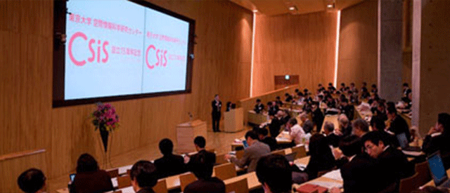
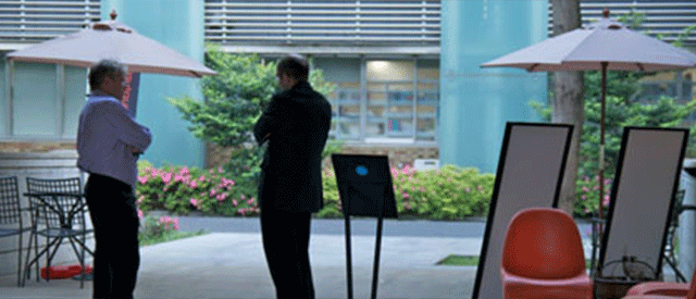

The Collaborative Research Organization for the Digital Spatial Society (DSS), the University of Tokyo, hosted its Summer School at Komaba Campus from August 6 to 8, welcoming 55 participants.
Throughout the program, we had hands-on exercises using a wide range of urban-related geospatial data, including human mobility data, imagery, and 3D data. The program covered a broad range of methods, including map visualisation and spatial analysis using GIS; geospatial and human mobility data analysis using Python; machine learning and agent-based simulation; image analysis using deep learning; 3D reconstruction from images using Structure from Motion (SfM); and 3D data analysis using PLATEAU.
Thank you to everyone who joined us!
Learn more about this event:https://dss.csis.u-tokyo.ac.jp/event/20260806/ (in Japanese)
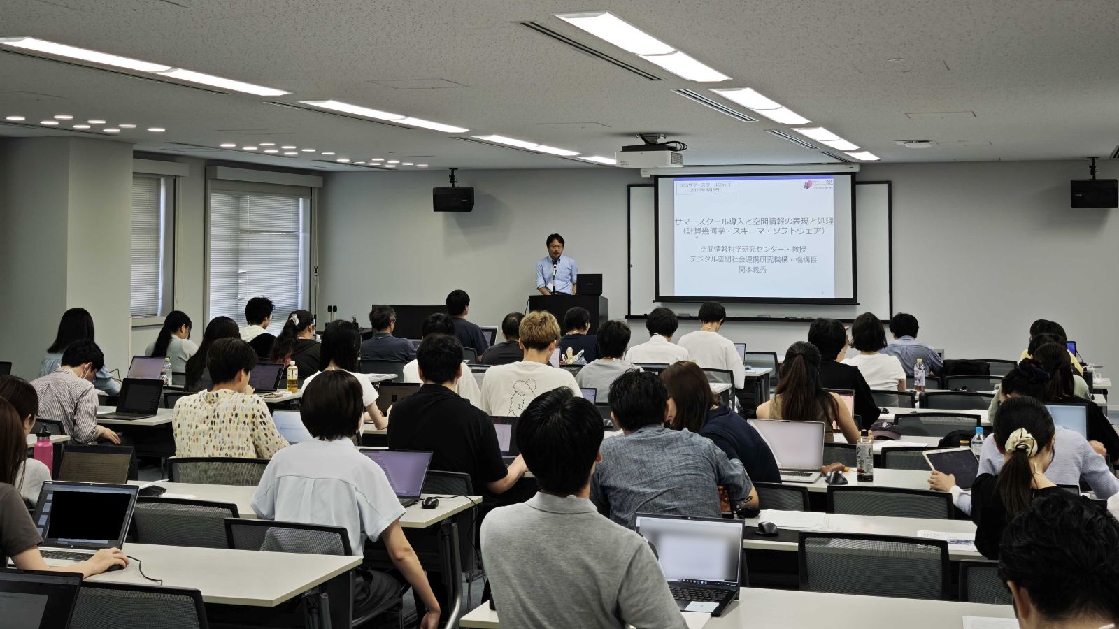
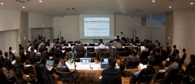
Lecture session
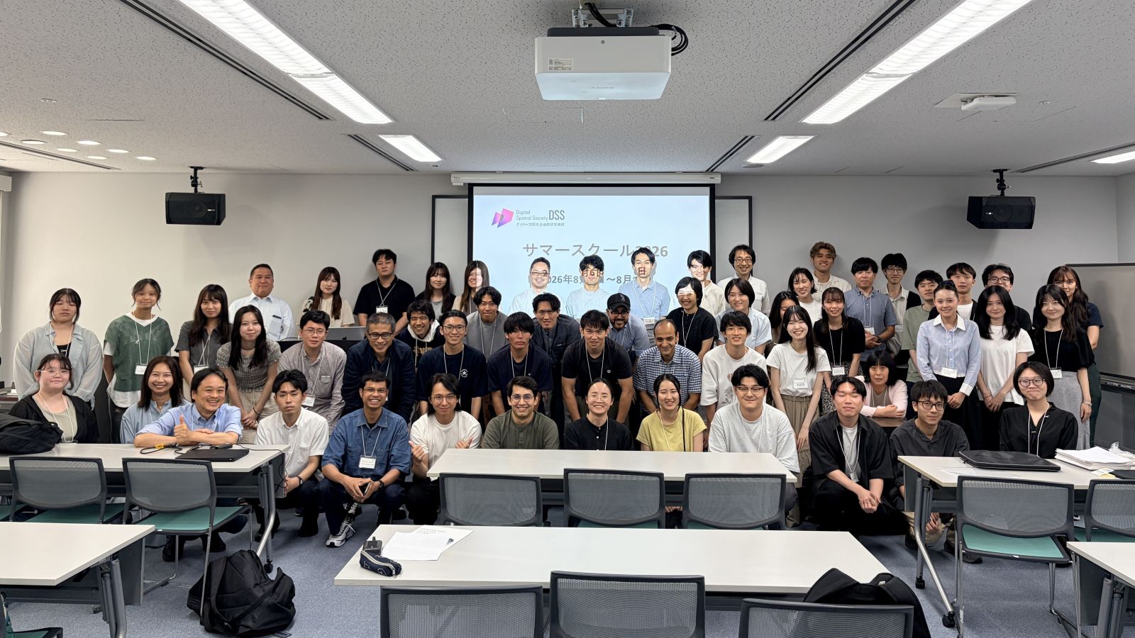
Group photo of the participants
2026年8月6日(木)〜8月8日(土)の3日間、東京大学デジタル空間社会連携研究機構のサマースクールが駒場キャンパスで開催され、55名にご参加いただきました。
3日間でGIS、人流データ、画像・三次元データなどのさまざまな都市データを題材に、実践的な演習を行いました。GISを用いた地図作成や空間分析、Pythonによる地理空間データ、人流データの分析、機械学習やエージェントシミュレーション、さらに深層学習を用いた画像分析、SfMによる三次元空間の復元、PLATEAUを用いた三次元データ分析など、幅広い手法を実際にデータを扱いながら学びました。
ご参加くださった皆様、ありがとうございました。
詳細はこちらをご覧ください。https://dss.csis.u-tokyo.ac.jp/event/20260806/
講義の様子
参加者の集合写真