





On July 26, we held a summer geography workshop for junior high (Grade 8-9) and high school students at the University of Tokyo’s Kashiwa Campus: “Inspire Science: Let’s Analyze Landforms and Disaster Information Using the Latest Digital Mapping Technologies!” (Program lead: Prof. Takashi Oguchi). This program is designed to give participants the opportunity to experience cutting-edge research conducted at universities and research institutes with support from Grants-in-Aid for Scientific Research (KAKENHI), and to inspire an appreciation for the excitement of science.
This time, 12 students participated, all of whom engaged with great enthusiasm. Thank you very much to everyone who took part.
Another session is scheduled for December this year. We hope you will join us!
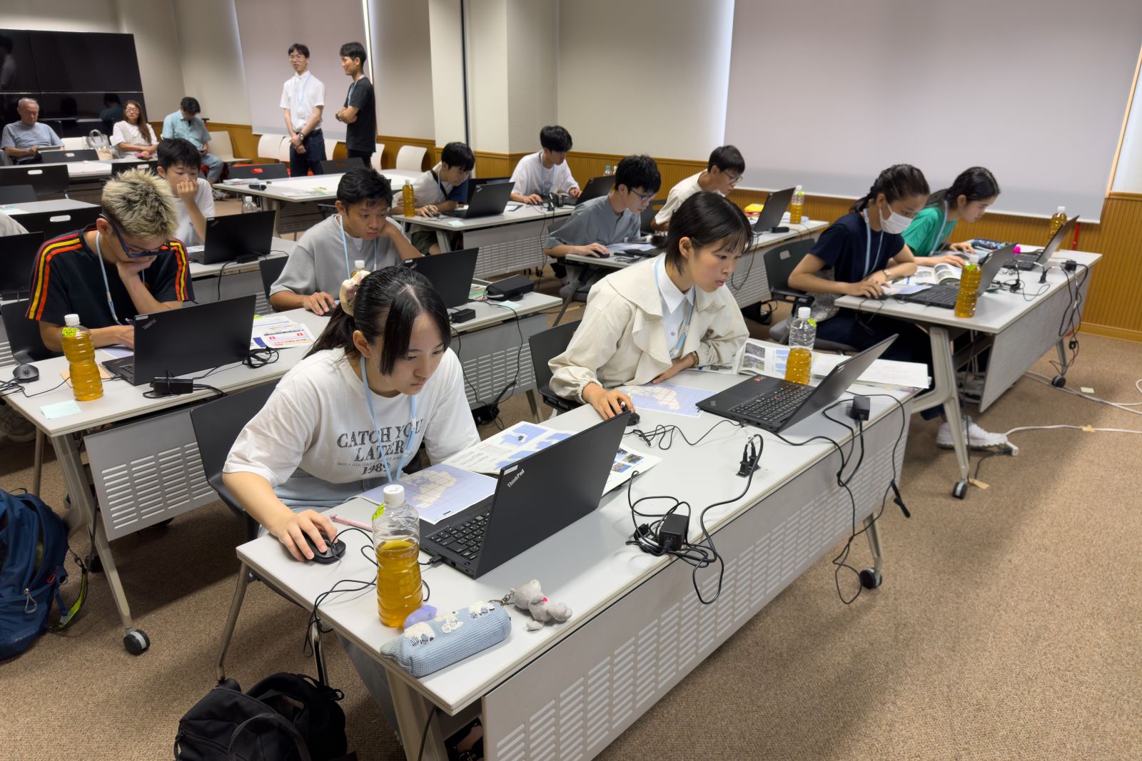
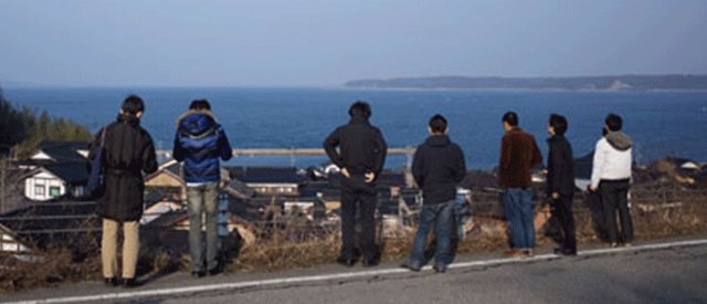
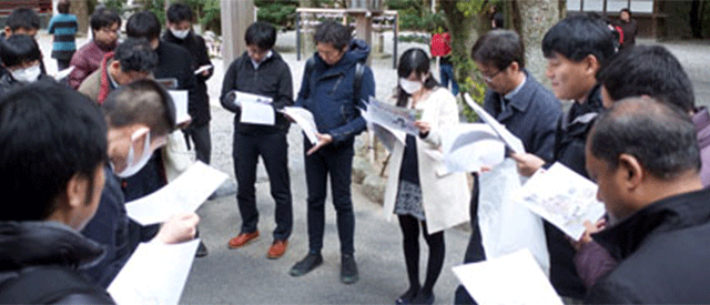
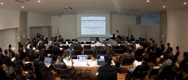
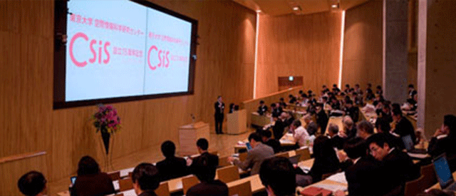
Scenes from the program
7月26日、東京大学柏キャンパスにて、中学2-3年生と高校生向けの夏休み地理講座、ひらめき☆ときめきサイエンス「最新のデジタル地図技術を用いて地形と防災情報を分析しよう!」(実施代表者:小口高)を開催しました。この講座は、大学や研究機関で「科研費」(KAKENHI)により行われている最先端の研究に触れてもらい、科学のおもしろさを感じてもらうためのプログラムです。今回は12名の参加者があり、みなさんとても熱心に取り組んでいました。ご参加くださった皆様、ありがとうございました。
今年度は12月にも開催を予定しています。ぜひご参加ください!
講座の様子